On-Demand Land Identity™ & Property Boundaries Across the Nation
Land Id offers seven different map base layers and nearly three dozen Land Id layers, including nationwide in-depth parcel data, floodplains, wetlands, contour lines, soil reports, public lands, land use, school districts, transmission lines, airports, and more. You also have countless styling and customization options such as the ability to draw boundaries, label and group specific items, and track key information in a visual context. Your Land Id maps can be as simple or complex as your needs require. No matter what they look like though, we guarantee your maps will always be as easy to read as they are to share. And they’re incredibly easy to share, whether you’re embedding them online, emailing them or printing out a PDF.
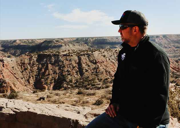
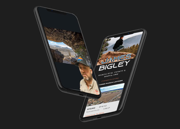
James Bigley Ranches and HAKA announce partnership
About Haka – We founded HAKA with one goal in mind – to create the most comfortable & best looking trucker hat you’ll ever wear.
Achieving that goal required a relentless commitment to quality in all elements of production. Through years of product testing & customer feedback we fine-tuned our hats until we nailed it…highlighted by our exclusive HAKA comfort-fit sweatband. We pair premium-grade patches with strict embroidery standards to create crisp, clean looks and routinely launch new designs to keep things fresh.
Rep your city, state, country or passion with our fine crafted hats.
Peak Land Design: Sustainable Land Solutions for Every Acre
Peak Land Design is a comprehensive land planning and design firm that specializes in regenerative and sustainable solutions for rural properties, farms, and ranches. Their services range from permaculture-based master planning and holistic water management to soil regeneration, agroforestry, and infrastructure consulting. With a focus on long-term productivity, ecological balance, and beauty, Peak Land Design helps landowners turn their visions into thriving, resilient landscapes that support both people and the planet.